Thunderstorms set to disrupt Bank Holiday weekend in the UK
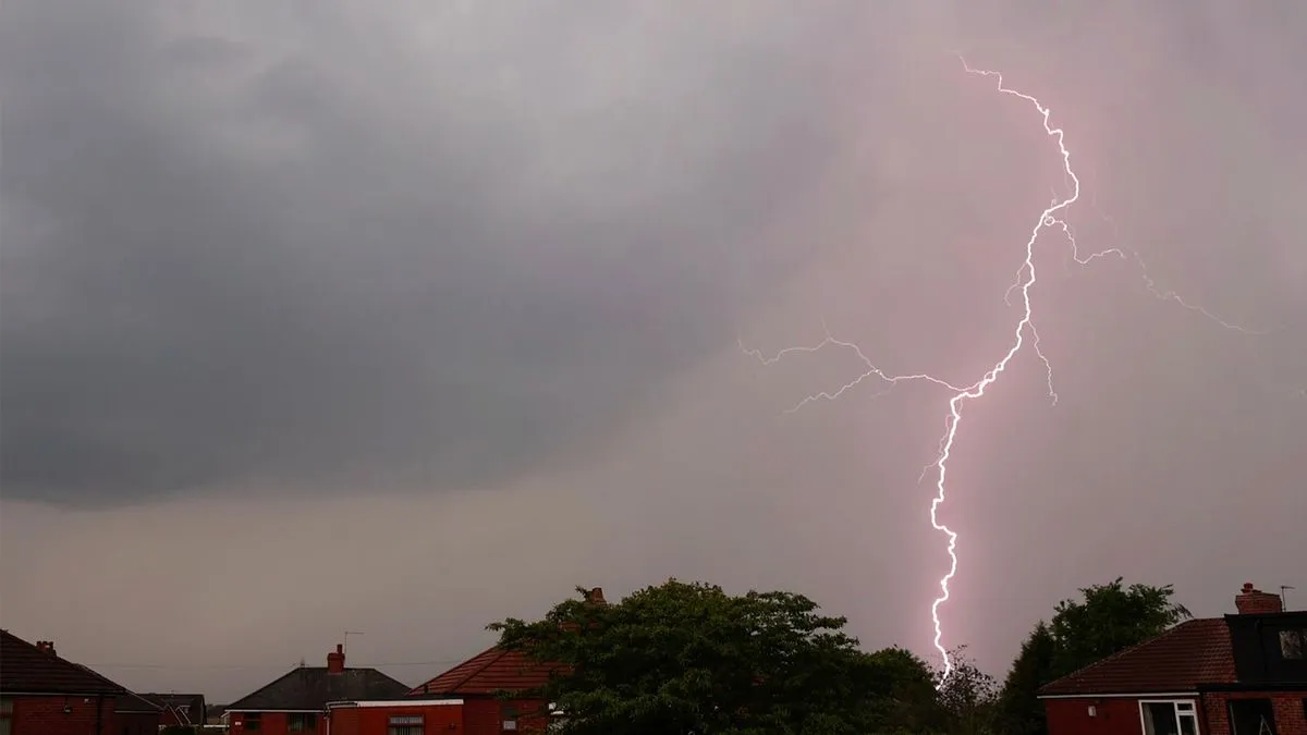
Thunderstorms are set to disrupt the Bank Holiday weekend across 22 counties in the UK, following a period of warm weather. The Met Office has warned that these storms could bring heavy showers and hail, particularly affecting areas in southern England and Wales.
The forecast indicates that thunderstorms will begin on May 3, 2026, with conditions changing significantly from the warm temperatures earlier in the week. On Monday, temperatures had reached as high as 26 degrees Celsius, but the situation will shift dramatically as cooler air moves in.
Key predictions:
- 22 UK counties are expected to experience thunderstorms.
- Temperatures will drop to predicted highs of 17 to 19 degrees Celsius.
- Overnight lows could fall between 9 to 10 degrees Celsius.
The Met Office advised residents to avoid using landlines during thunderstorms due to lightning risks. Mark Sidaway, a deputy chief forecaster at the Met Office, stated that it would be a wet start for many parts of England and Wales. He mentioned that Monday would remain changeable with lingering cloud and scattered showers.
Weather mapping service Ventusky has predicted that thunderstorms will likely hit southern England and Wales around 7 PM on May 3. This mixed weather picture comes after a prolonged spell of dry and sunny conditions during the preceding days.
As these storms approach, residents should prepare for potential disruptions. The Met Office has published safety advice for those facing thunderstorms, emphasizing caution during severe weather events.
The uncertainty surrounding the exact timing and intensity of these storms remains. Authorities urge people to stay informed about changing weather conditions as they plan their activities for the Bank Holiday weekend.